
價格:免費
更新日期:2017-12-20
檔案大小:228.2 MB
目前版本:1.3
版本需求:需要 iOS 9.3 或以上版本。與 iPhone、iPad 及 iPod touch 相容。
支援語言:英語
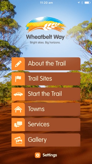
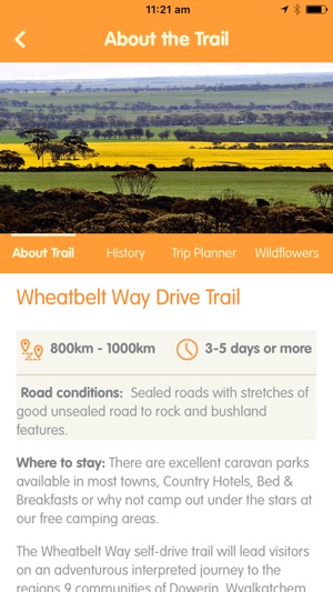
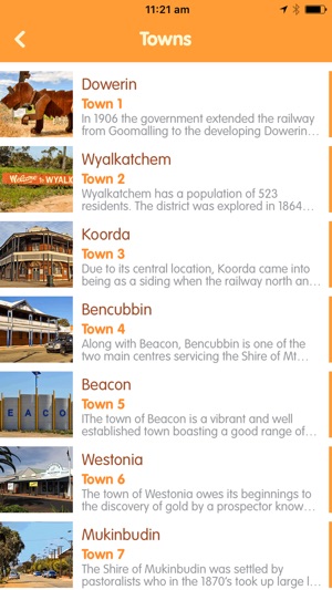
The Wheatbelt Way self-drive trail app will lead you on an adventurous interpreted journey to the region's communities of Dowerin, Wyalkatchem, Koorda, Bencubbin, Beacon, Westonia, Mukinbudin, Nungarin and Trayning. It highlights 24 interpreted sites of the many natural attractions and history/heritage sites while offering you opportunities to stay and experience the unique Wheatbelt communities and landscapes.
Breathe the fresh air as you explore the history and natural beauty of the Wheatbelt Way. Picture yourself surrounded by a vast timeless land of bright skies and big horizons, rich with the sights and sounds of nature, warm sunny days and cool evening breezes and green leafy trees contrasting with rugged rocky outcrops. Let us introduce you to the unique charm of the Wheatbelt Way where you can experience good old-fashioned hospitality while exploring at your own leisure. Whether you are planning a short visit or longer stay, there are lots to see and do!
Features:
- Offline Map: No internet connection required.
- Real-time GPS: track your location on a map at all times.
- Trail Notes that describe the road journey between each site.

- Features Stories that are relevant to each site/town.
- Services: Find Meal, Accommodation, Campsites, RV Dump Points, Fuel or Visitor Centres nearby you.
- Audio files that complement the information at the stopping points along the Trail.

Check out our new website at www.wheatbeltway.com.au
支援平台:iPhone